For those who have visited the beautiful city of Geneva and for those who are planning to visit it a ‘must see’ is certainly the Hotel De Ville, not only an interesting building from the architectural point of view but also a place where history was literally written and where the visitor can really feel it all around himself.
From the Geneva Convention (1864) to the Arbitration Treaty (1872) this place has been the scenario of very important facts for the whole mankind and for the settlement of modern international politics.
From the architectural standpoint, the most remarkable feature of the building is a monumental ramp that is constructed in a partly protruding square tower and that reaches the third floor of the building. The originality of the construction and its usage was mentioned already at the end of the 17th century when the ramp was usually ascended by syndics on horseback up to the very door of the Council chamber.
Inspired by this fascinating fact, Inglobe Technologies created a mobile application that was demonstrated during the 3D Geospatial Geneva Showcase held in that city on the 11th of June and organized by PEREY Research & Consulting. During the event, several developers demonstrated their achievements in using advanced mobile technology to illustrate current state-of-the-art for in-situ capture, analysis and visualization of geospatial and geospatially-referenced data.
The demonstration provided by Inglobe Technologies leveraged on the just released ARMedia SDK and specifically on the 3D object tracking component that was used to track the Hotel De Ville’s ramp and to create the illusion of horses moving up the ramp like it used to happen over 300 years ago.
Considering the type of the building, the very short time available and the surprisingly varying weather conditions, the initiative was very challenging but, at last, it provided the occasion to demonstrate the effectiveness of the employed technology. To share with all of you this very same feeling, keep reading the following short report that, in an informal manner, tries to describe everything was involved in creating the demonstration app for the Hotel De Ville.
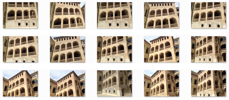
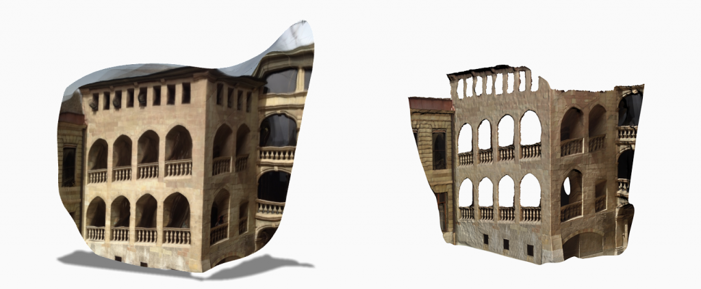
This step was not mandatory because there was already a 3D model available but, since we wanted to manage also the occlusion of virtual objects by real objects – i.e. virtual horses passing behind real columns – we opted to use our own reconstruction that had much more details.
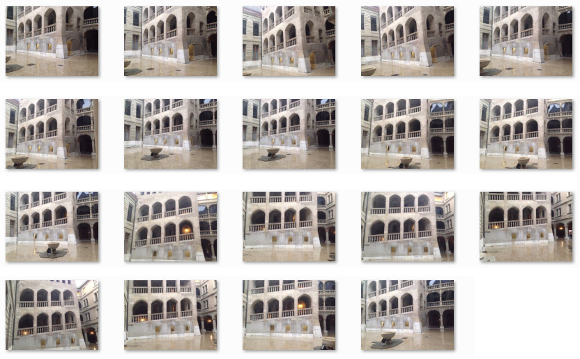
2 – In order to create the 3D target for the tracker 19 photographs were taken from 4/5 vantage points:
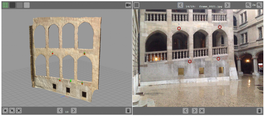
These photos were then uploaded onto the ARMedia Developers portal along with the reconstructed 3D model of the building and a set of 3D/2D points associations were made using the online tools provided by the Developers portal:
3 – After few minutes the candidate 3D target was available for testing with the ARMedia ToolSet mobile app:
First thing to be tested was the accuracy of the 3D aligment of virtual objects with real ones, to this extent we displayed the reconstructed 3D model while tracking the real buiding:
on the left one of the images we used to create the 3D target, on the right the ARMedia ToolSet app loaded with the actual 3D target, on one side no hard shadows, some direct light sources while on the opposite side hard shadows, no light sources (except the sun) and very dark areas – tracking worked fine.
Results were still good.
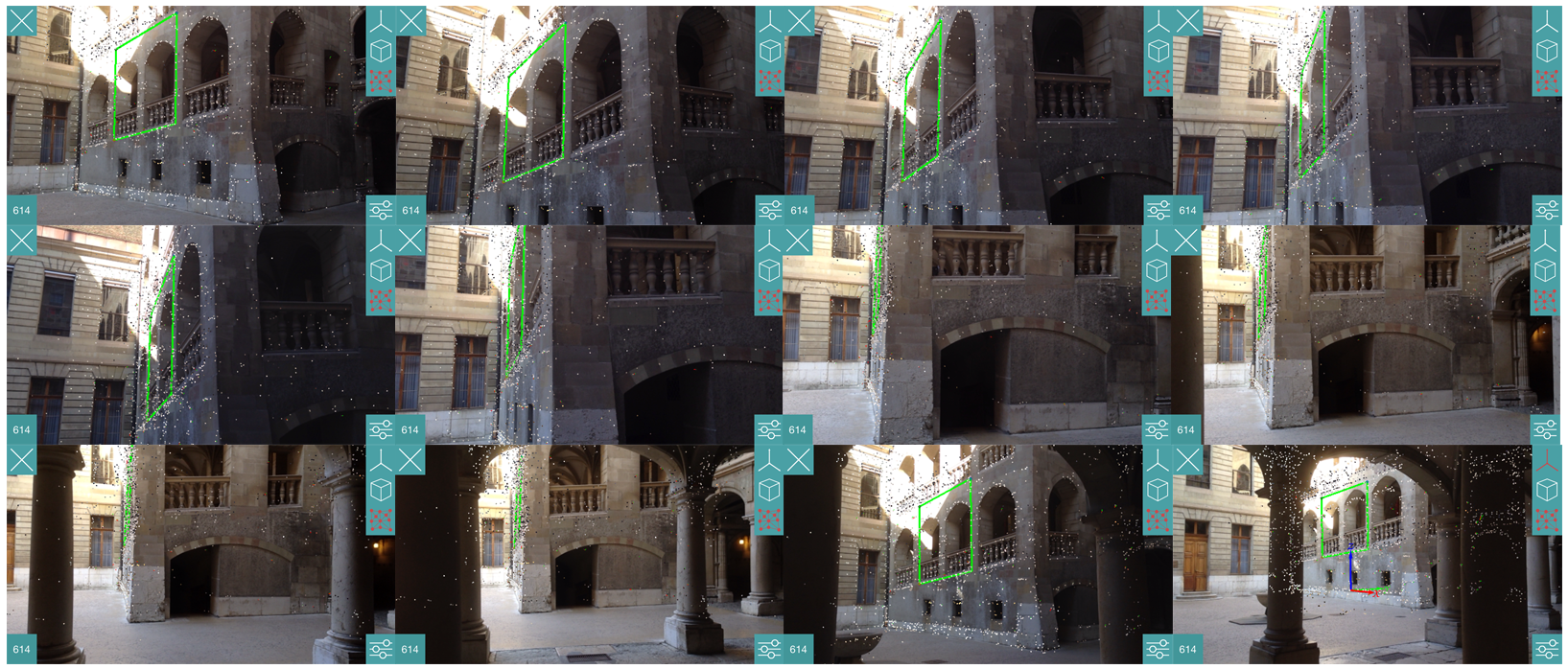
Finally another robustness test was done by walking around the inner yard, from the front to the very side of the ramp (where no photographs were taken) and also between columns where some occlusion occurred:
Once again the results were satisfying.
4 – After the final tuning of the 3D target, the demo app was finalized by adding the animations of horses and some environmental sounds:
This post is also available in: Italian

